
Maritime Safety & Navigation
Automatic Identification Systems replace radar’s guesswork with exact vessel identity, heading, and ETA: readable even through waves, rocks, or dense fog.
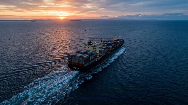
From sensor to control room
A Class A (12.5W SOTDMA) or Class B (2W CDMA) unit broadcasts identity, heading, rudder angle and ETA over VHF.
Ground-based stations, other ships, and search & rescue aircraft receive the signal, unaffected by waves, rocks or fog.
Information reaches any computer on land over free VHF signal or an internet connection, at very low power draw on the vessel side.
Course, speed, rudder angle, pitch, roll, destination and ETA render on the receiving console per IEC 61162 / NMEA 0183.
Products in this solution
Frequently Asked Questions
Answers structured for quick reference: the same specs a field engineer would give you.
Class A uses SOTDMA access with a 12.5W transmitter for large-tonnage, mission-critical vessels. Class B uses CDMA with a 2W transmitter, sized for smaller auxiliary craft.
AIS is immune to environmental interference , waves, rocks, and fog don’t confuse it the way they do radar , and it delivers identity, exact heading, rudder angle, and ETA, not just an echo.
No. Information reaches any computer on land over free VHF signal or an internet connection, with very low power consumption on the vessel side.
Talk to an engineer about Maritime Safety & Navigation
Tell us the site, the asset, or the constraint. A regional office follows up directly.